Back To Home
The Story Behind the Weather - By Forecaster John
Ensworth M.S. -
The Discussion of Weather Events Daily for Philadelphia and Pennsylvania
Last updated: 02/26/2004 03:16 PM
Good Afternoon Philadelphia!
I'm glad to announce that these
discussions will continue until at least the end of February
(it's a short month)!
I
have the necessary server space (especially with missed days!).
In short: Clear(ing) skies and warming temperatures are on the way. Are you ready for 60's? Can you handle 60's?
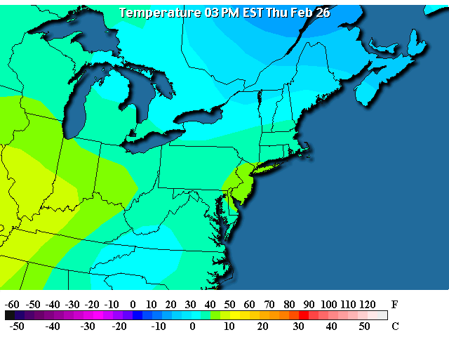
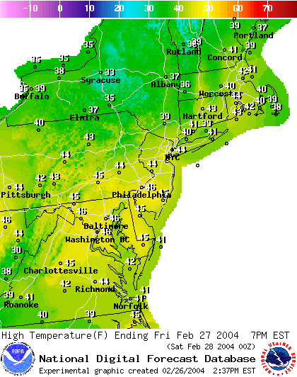
In long: We are up in the lower 40's today with 50's+ to the west and south. Here comes the good stuff.
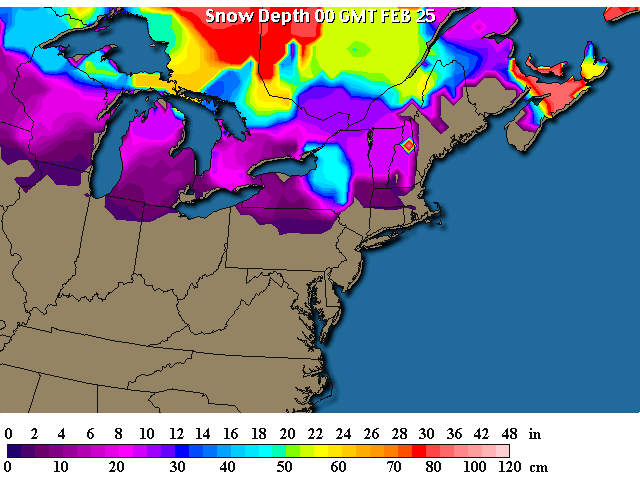
Snow still lingers in the north, but watch it GO!
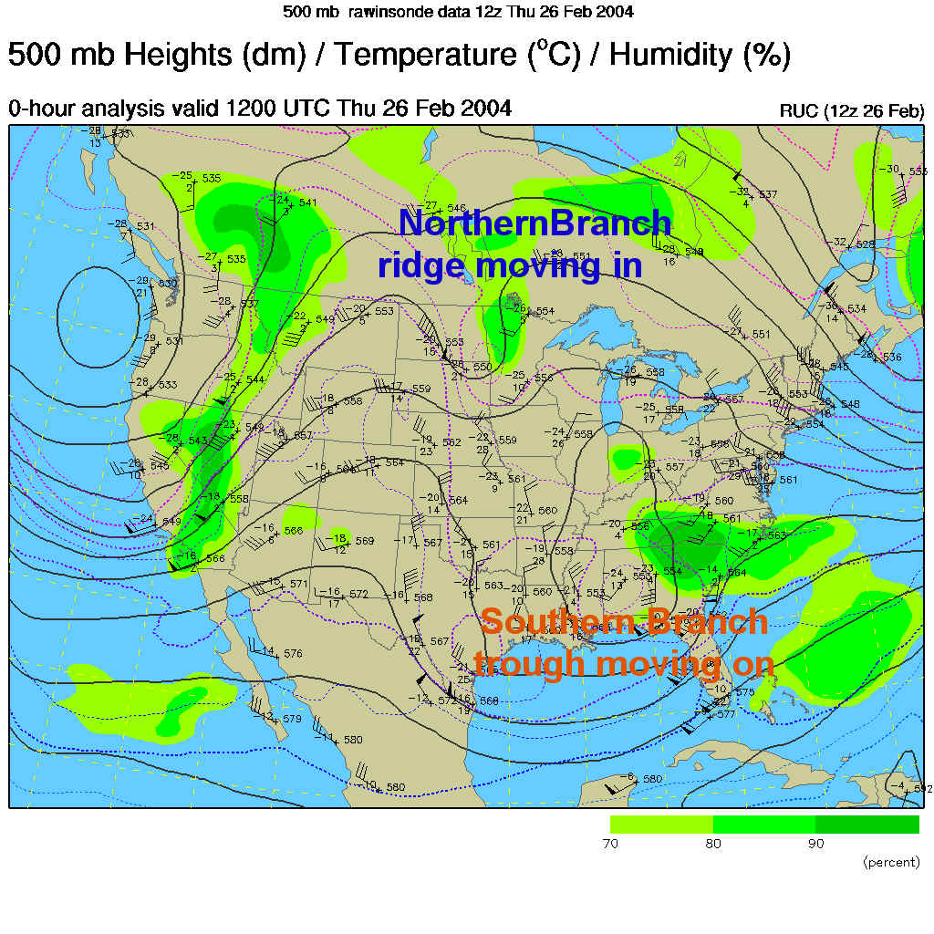
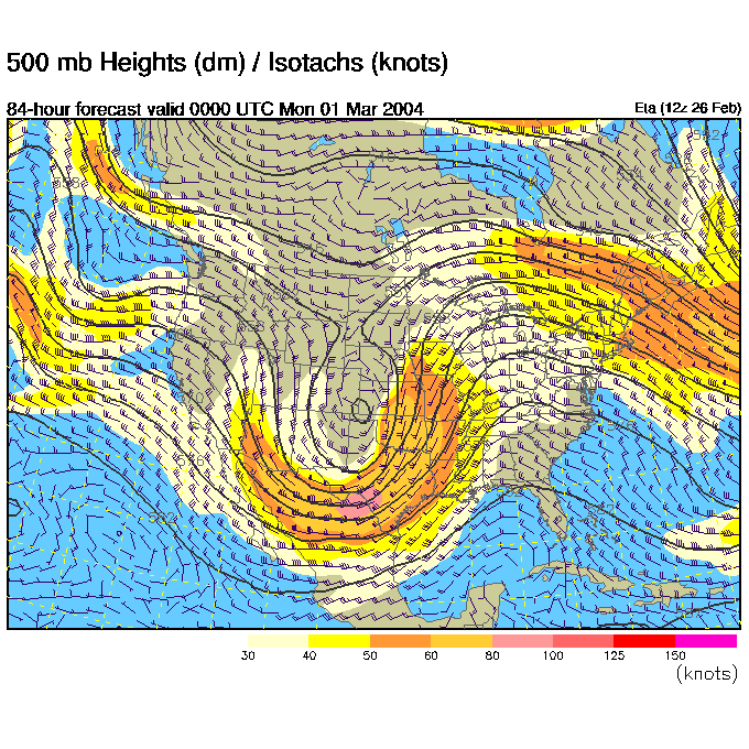
The southern branch of the jet stream is the big story and it is kicking off quite a memorable storm in the Carolinas and southern highlands of the Appalchians.
You can see the Low in this system off the Georgia and S. Carolina coasts with POWERFUL onshore winds on its north side. You know those systems as nor'easters up here.
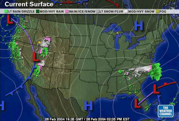
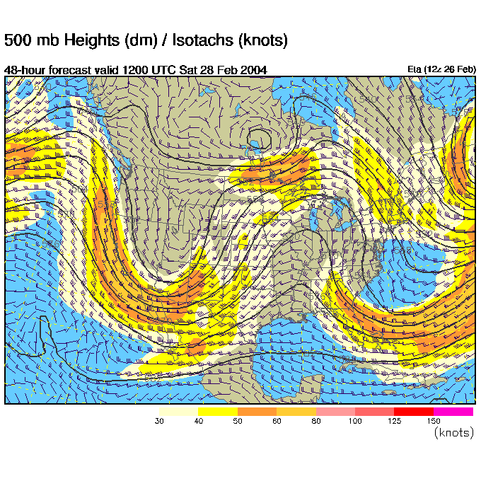
The winds at 18,000 feet above sea level, as they blow mainly from west to east across the nation parallel to the dark black lines on this 500mb map, show a trough in the southern bunching of these lines (the southern jet stream) in the southeastern US. This is their storm. OUR weather is coming from the northern branch (the bunching of the lines across the northern US and Canada) and its big ridge.
So here comes the warmth. Friday we climb to the mid 40's.
And the ridge in the upper air pattern approaches us (remember you expect highs to form on the right side of a ridge).
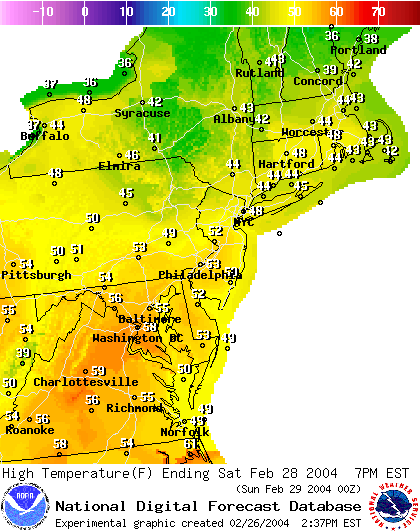
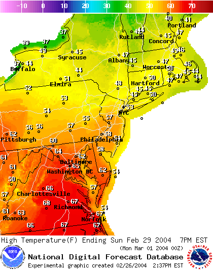
Saturday comes on with sun and lower 50's!
And the ridge anchors on us.
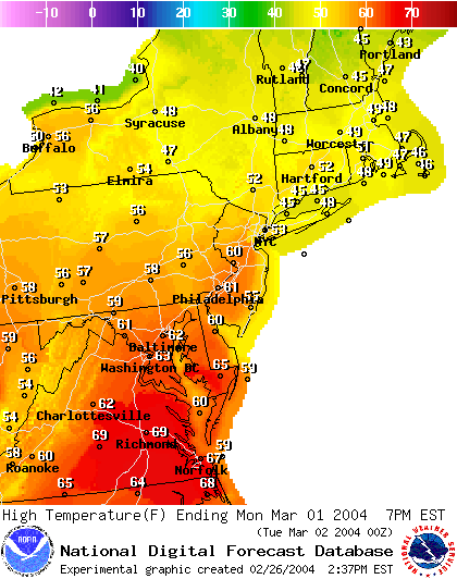
Sunday hits with upper 50's or lower 60's in the Philadelphia area. Oh baby!
Monday sees us definatly breaking the 60's. Ooo la la. Go wear shorts and get a tan!
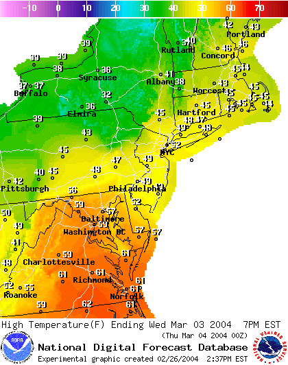
All good things must come to an end, and the ridge passes us with a new shot of cooler air filtering in from the north. We drop back to the 40's or 50's for highs by Wednesday.
Enjoy it while we have it!
I'll see you again Friday!
Meteorologist John Ensworth
Surface Station sky cover color key:
Flight category definitions:| Category | Ceiling | Visibility | |
|---|---|---|---|
| Low Instrument Flight Rules LIFR* (magenta circle |
below 500 feet AGL | and/or | less than 1 mile |
| Instrument Flight Rules IFR (red circle |
500 to below 1,000 feet AGL | and/or | 1 mile to less than 3 miles |
| Marginal Visual Flight Rules MVFR (blue circle) |
1,000 to 3,000 feet AGL | and/or | 3 to 5 miles |
| Visual Flight Rules VFR+ (green circle) |
greater than 3,000 feet AGL | and | greater than 5 miles |
| *By definition, IFR is ceiling less than 1,000 feet
AGL and/or visibility less than 3 miles while LIFR
is a sub-category of IFR. +By definition, VFR is ceiling greater than or equal to 1,000 feet AGL and visibility greater than or equal to 3 miles while MVFR is a sub-category of VFR. |
|||