Back To Home
The Story Behind the Weather - By Forecaster John
Ensworth M.S. -
The Discussion of Weather Events Daily for Philadelphia and Pennsylvania
Last updated: 10/28/2003 05:02 PM
Good Afternoon Philadelphia!
I'm glad to announce that these discussions will continue until at least the end of November.
Today's discussion starts with a look the rain that happened, the rain that is happening, and the rain that will happen... drip.
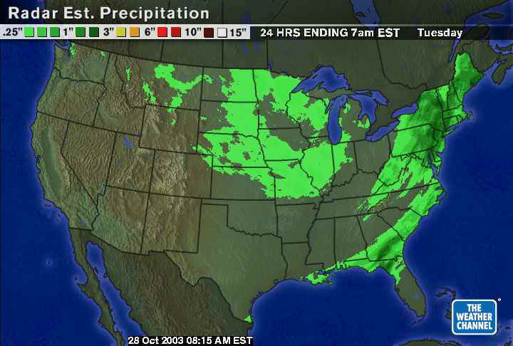
Once this last storm got close to the east coast, it pulled in a LOT of tropical moisture from the east and southeast. Many places from east central Pennsylvania and up into Maine had up to an inch of rain...which is a fairly significant amount of water for so late in the season (October usually has the air getting cooler and is therefore less able to hold a lot of water...but it got over that this time.
Zooming in to Philadelphia, some places to our northeast and north topped three inches of rain! The flash flood warnings and watches were justified yesterday!
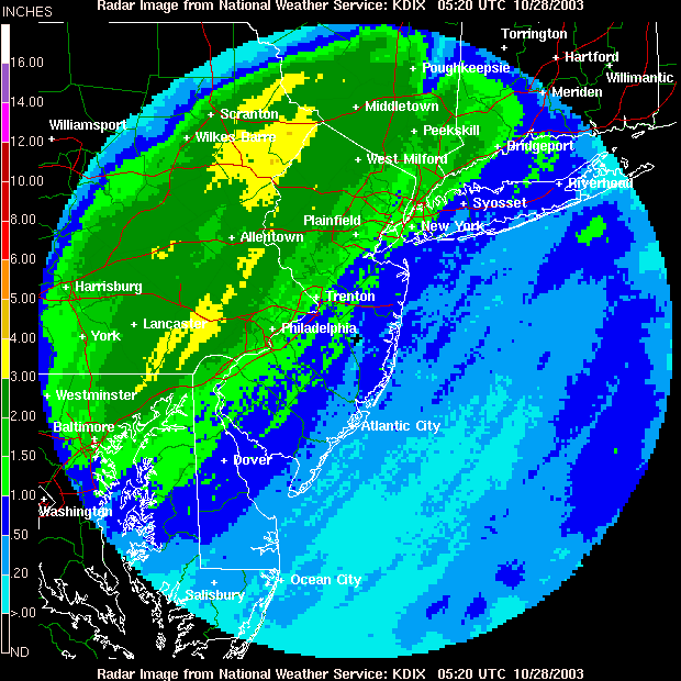
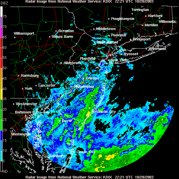
Currently, we have showers still drifting to the northeast from the south and southwest. The dripping goes on.
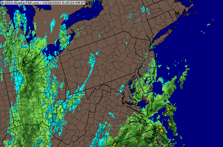
Looking at the bigger picture right now, you can see the NEXT system pulling into western Pennsylvania for the rain tomorrow. Wow. Showers. Ya hoo.
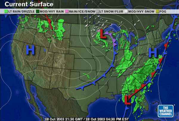
The surface map shows the front from yesterday stalling out (the alternating red and blue segments on the front means the front is stationary, or nearly so). The next big area of rain is forming ahead of a new and surprisingly strong front moving through the Lakes. There are snow flurries from northern Minnesota over into Canada to the east.
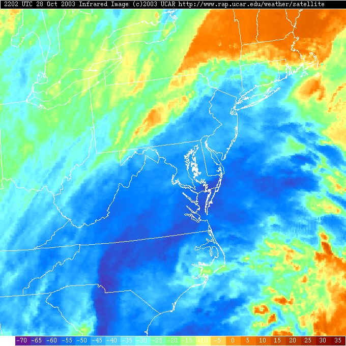
The infrared satellite shows a swath of very cold high cirrus clouds streaming up with the rain showers to our south. The storms are still quiet significant near the front...and we are not far enough behind it to stay dry ...yet.
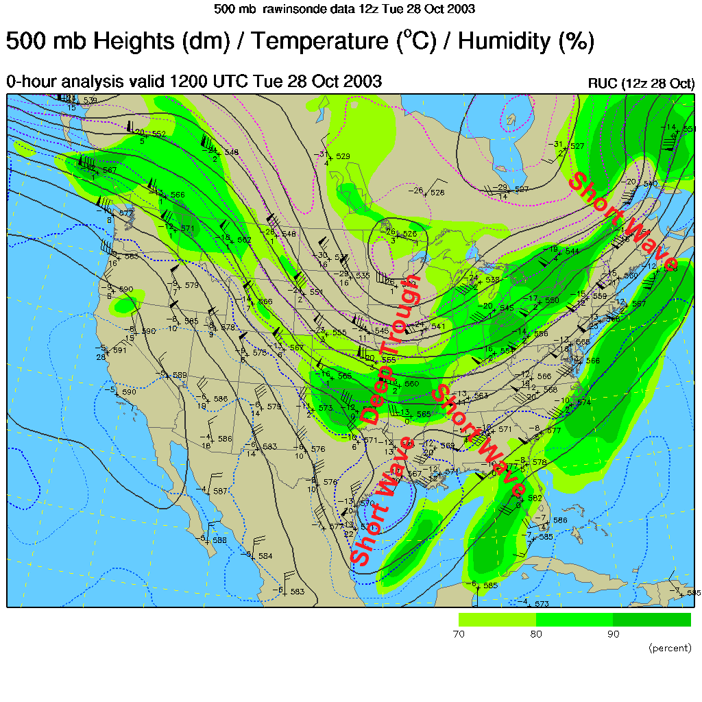
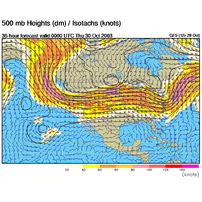
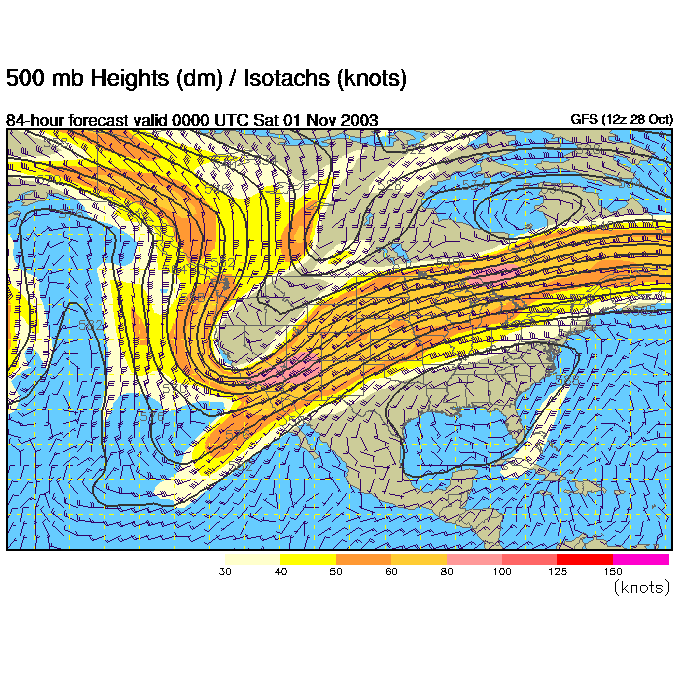
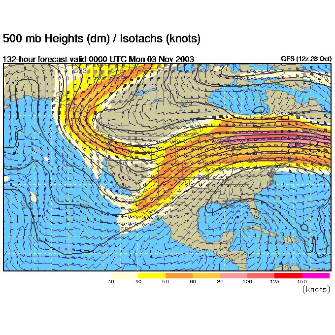
The 'Deep Trough' in the airflow at about 18,000feet is providing the push of cold air and lifting to the right of the trough that we see as two active frontal zones (one to our east, one to our west). The smaller troughs (the Short Waves) in the flow are kicking off more localized areas of storms or intensifying fronts.
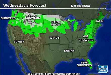
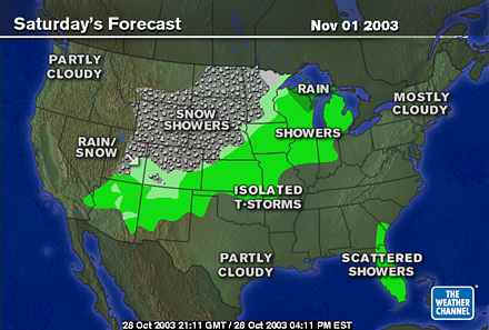
Looking into the future, Wednesday has the western front passing over our heads with more rain (no snow though...we're still too warm).
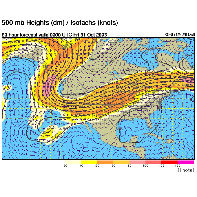
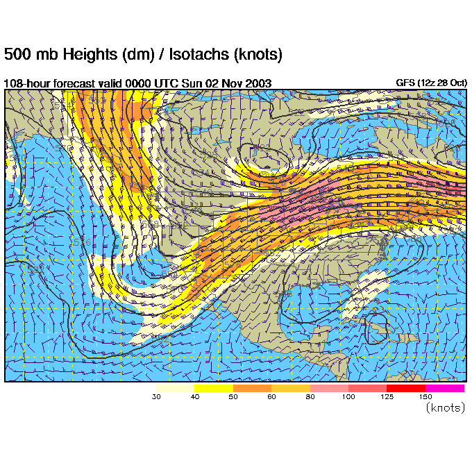
The upper level airflow on Wednesday night shows the Great Lakes trough above sliding off to our east taking the rain with it. A NEW big fat trough is deepening in the western states. This is a BIG change in the upper air pattern. This should also turn off the Santa Anna winds in California and save a bunch of homes.
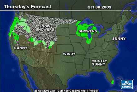
Thursday comes in sunny and warmer.
That sunny and warmer forecast comes from the new ridge building over the eastern US (the trough in the west gets bigger!).
Friday... still nice!
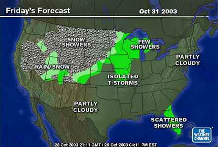
The ridge gets a bit stronger and we get a bit warmer because of it.
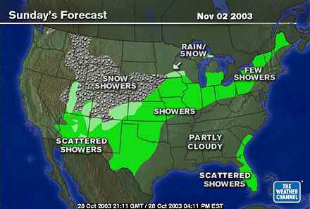
The central US is seeing rain and snow, but we are still dry into Saturday...
Because the west coast trough gets deeper, and the east coast ridge hangs on tough.
Showers are sneaking towards us, but much diminished from what they were out in the central part of the nation...
And the ridge over us is only slightly suppressed.
After this shot of rain, look to a rapid warm-up and dry out. AND a great weekend for Halloween!
Stay dry and I'll see you again Wednesday morning.
Meteorologist John Ensworth
Surface Station sky cover color key:
Flight category definitions:| Category | Ceiling | Visibility | |
|---|---|---|---|
| Low Instrument Flight Rules LIFR* (magenta circle) |
below 500 feet AGL | and/or | less than 1 mile |
| Instrument Flight Rules IFR (red circle) |
500 to below 1,000 feet AGL | and/or | 1 mile to less than 3 miles |
| Marginal Visual Flight Rules MVFR (blue circle) |
1,000 to 3,000 feet AGL | and/or | 3 to 5 miles |
| Visual Flight Rules VFR+ (green circle) |
greater than 3,000 feet AGL | and | greater than 5 miles |
| *By definition, IFR is ceiling less than 1,000 feet
AGL and/or visibility less than 3 miles while LIFR
is a sub-category of IFR. +By definition, VFR is ceiling greater than or equal to 1,000 feet AGL and visibility greater than or equal to 3 miles while MVFR is a sub-category of VFR. |
|||