Back To Home
The Story Behind the Weather - By Forecaster John
Ensworth M.S. -
The Discussion of Weather Events Daily for Philadelphia and Pennsylvania
Last updated: 11/01/2003 09:44 AM
Good Morning Philadelphia!
I'm glad to announce that these discussions will continue until at least the end of November.
In Short: Sunny and Warm... with showers and cooler air sneaking in once in a while.
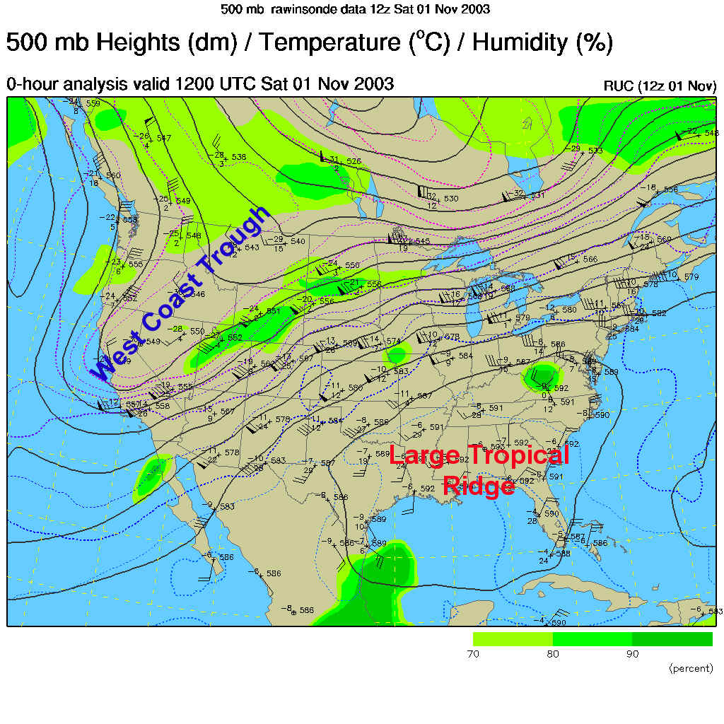
Philadelphia is going to be on the edge of the collision zone between the cold air to the north and warm tropical air to the south... let's look at it!
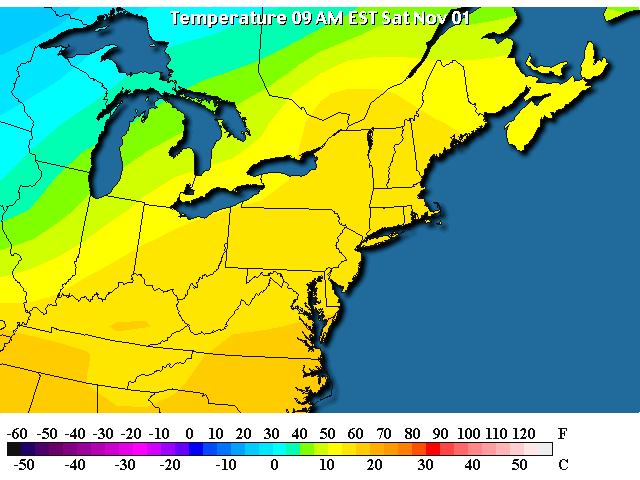
The chilly air is hanging around in the western Great Lakes and up in Canada (lots of 30's and 40's this morning), we are already around 60 F!!! at this time of the morning. Wow, what a change a ridge makes.
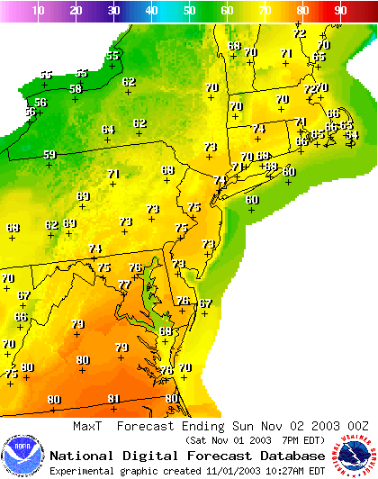
Even better, the forecast highs today are going to approach the UPPER 70's ... wowzie!
The surface map shows part of the picture, there is a broad lazy cold front draped over the NW corner of the state with cooler/colder air behind it, and VERY warm moist air ahead of it.
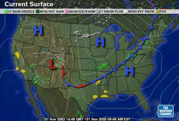
Along the front, there is a scattering of ity-bity showers. Nothing very significant.

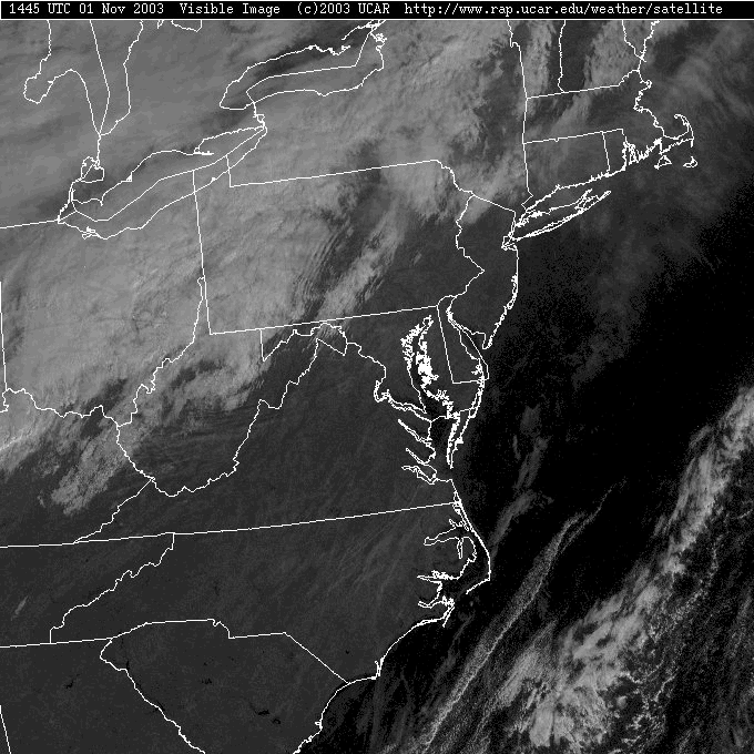
Behind and near the front, there is an impressive amount of cloudiness, but really clear skies here!
The 'Rest of the Story' is the upper air pattern. With a big ridge to our south and generally on our heads, the front won't have much of a punch with it or move very quickly eastward. The warm air will win this battle.
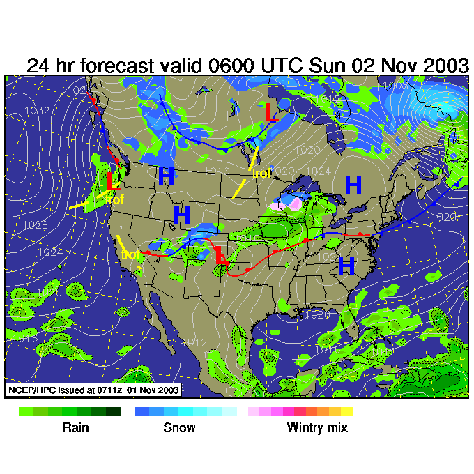
So in the near future, the front sags south and we cool down a bit for tomorrow...
Then it begins to move northward again on Sunday...
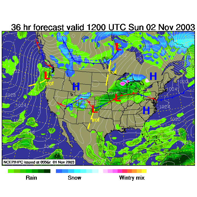
And is north of the state by Sunday evening. A brief visit with only a chance of showers around here as it goes.
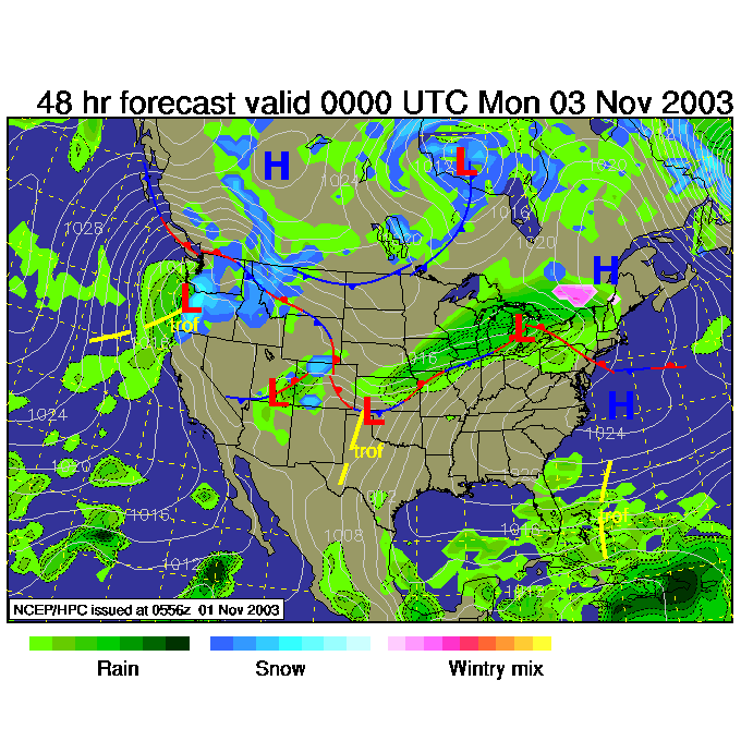
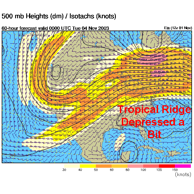
By Monday night, the slightly depressed (cheer it up!) ridge begins to reassert itself northward (you can see a hint of a short wave or mini-trough north of us sliding past allowing the ridge to get bigger again).
Have a great weather Saturday! I'll see you again Monday morning.
Meteorologist John Ensworth
Surface Station sky cover color key:
Flight category definitions:| Category | Ceiling | Visibility | |
|---|---|---|---|
| Low Instrument Flight Rules LIFR* (magenta circle) |
below 500 feet AGL | and/or | less than 1 mile |
| Instrument Flight Rules IFR (red circle) |
500 to below 1,000 feet AGL | and/or | 1 mile to less than 3 miles |
| Marginal Visual Flight Rules MVFR (blue circle) |
1,000 to 3,000 feet AGL | and/or | 3 to 5 miles |
| Visual Flight Rules VFR+ (green circle) |
greater than 3,000 feet AGL | and | greater than 5 miles |
| *By definition, IFR is ceiling less than 1,000 feet
AGL and/or visibility less than 3 miles while LIFR
is a sub-category of IFR. +By definition, VFR is ceiling greater than or equal to 1,000 feet AGL and visibility greater than or equal to 3 miles while MVFR is a sub-category of VFR. |
|||