Back To Home
The Story Behind the Weather - By Forecaster John
Ensworth M.S. -
The Discussion of Weather Events Daily for Philadelphia and Pennsylvania
Last updated: 01/19/2004 07:07 PM
Good Afternoon Philadelphia!
I'm glad to announce that these
discussions will continue until at least the end of January!
I
have the necessary server space (especially with missed days!).
In short: Another passing blow of cold blowing air is passing, but things are going to be quiet for a while.
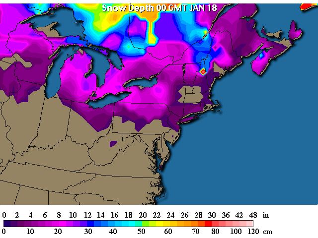
In long: The snow pack got nipped back by our brief jaunts above freezing over the weekend (and the change to rain).
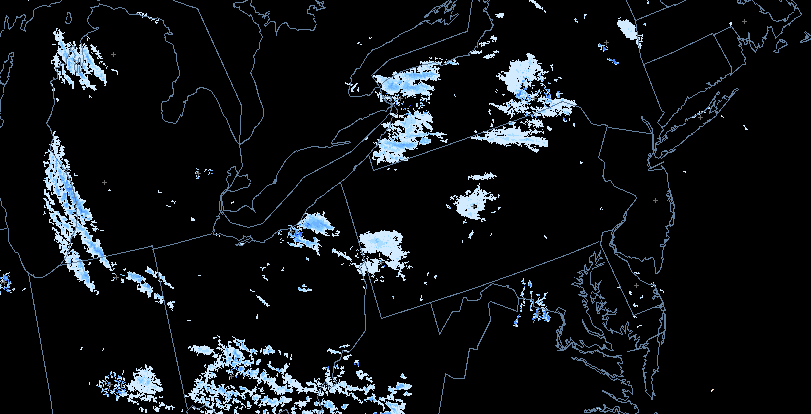
The current snow (on the specially colored radar) shows a quiet setup with just light lake effect snows to our west and northwest. The patch in central PA is probably radar clutter and not even real or at least is EXTREMELY light snow that is only showing up very near the radar.
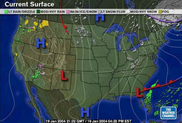
The surface map is also quiet. The heavy snow is all north of Maine with isobars coming out of the north (remember they wrap around a Low pressure center, and the air moves counterclockwise around a low center, giving us a north wind. The bits of snow also are shown here. The southwestern system that pumped the moisture up for the rain/snow event Friday/Saturday is now a minor low in northern Florida.
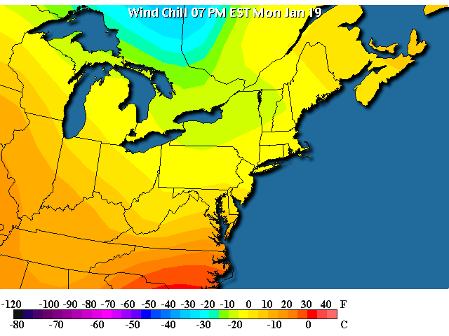
Temperatures are above freezing well south of Philadelphia this evening as more chill air pours in...
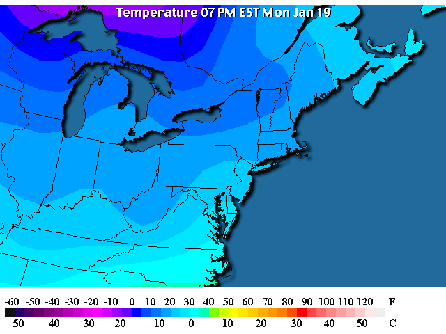
On brisk north and northwest winds. In fact, the strongest winds in the region are happening over Philadelphia this evening yielding...
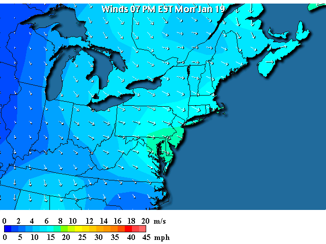
...wind chills at and below ZERO still state wide. Be careful going out tonight!
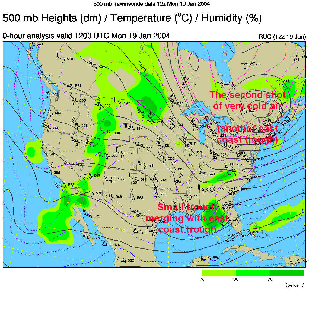
This north fetch of very cold air is associated with the secondary piece of the polar vortex cold air rotating by to our north (much like the last one, but not QUITE as cold).
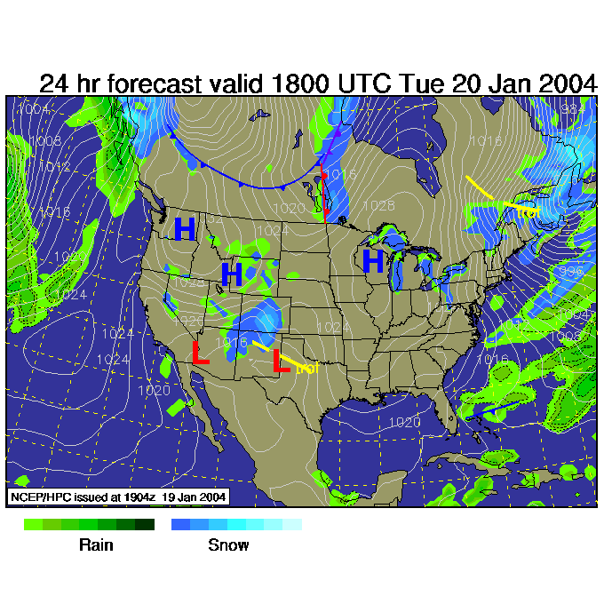
So in the near future, we'll see the cold north and northwest winds continue with lake effect snows continuing out west (this map is for Tuesday 1pm).
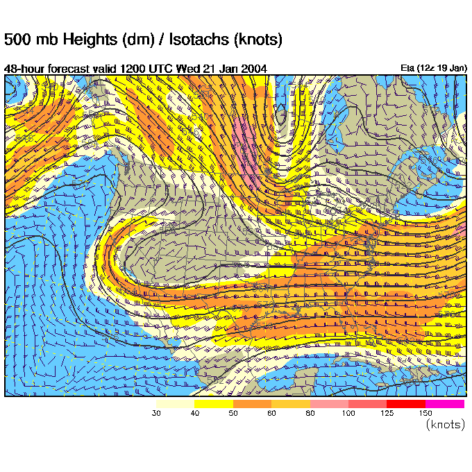
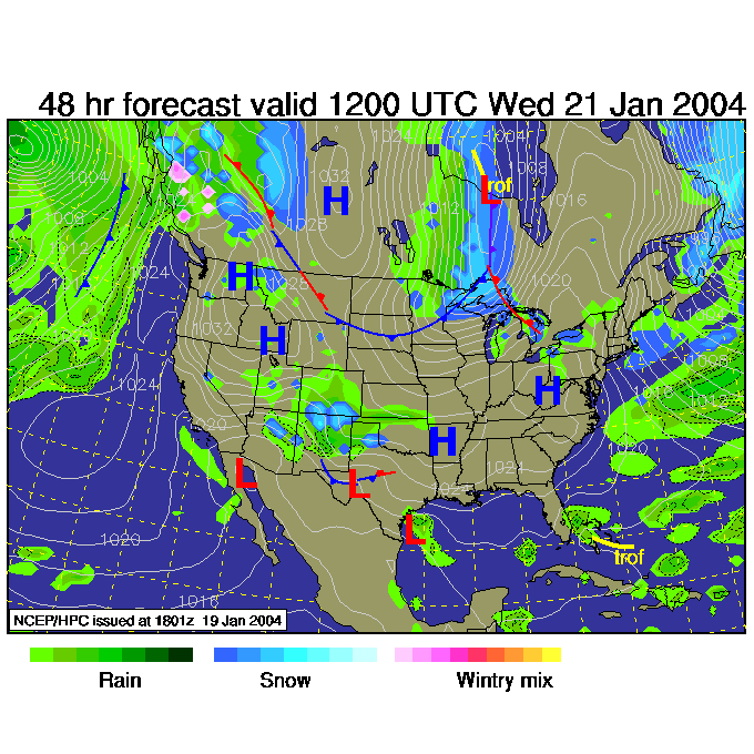
By Wednesday 7am, we have no definite trough directly to our west yet and the weather remains cold but quiet.
And the surface map shows it. You CAN see Great Lake snow on the right side of the Canadian trough above, and you can see rain and snow to the right of the trough over the Southwest States (in New Mexico, Colorado and West Texas). Lake effect snows continue in western Pennsylvania and western New York State.
We'll track that Thursday snow chance tomorrow. See ya then!
Meteorologist John Ensworth
Surface Station sky cover color key:
Flight category definitions:| Category | Ceiling | Visibility | |
|---|---|---|---|
| Low Instrument Flight Rules LIFR* (magenta circle |
below 500 feet AGL | and/or | less than 1 mile |
| Instrument Flight Rules IFR (red circle |
500 to below 1,000 feet AGL | and/or | 1 mile to less than 3 miles |
| Marginal Visual Flight Rules MVFR (blue circle) |
1,000 to 3,000 feet AGL | and/or | 3 to 5 miles |
| Visual Flight Rules VFR+ (green circle) |
greater than 3,000 feet AGL | and | greater than 5 miles |
| *By definition, IFR is ceiling less than 1,000 feet
AGL and/or visibility less than 3 miles while LIFR
is a sub-category of IFR. +By definition, VFR is ceiling greater than or equal to 1,000 feet AGL and visibility greater than or equal to 3 miles while MVFR is a sub-category of VFR. |
|||