Back To Home
The Story Behind the Weather - By Forecaster John
Ensworth M.S. -
The Discussion of Weather Events Daily for Philadelphia and Pennsylvania
last updated: 09/14/2003 02:17 PM
Good news everyone! Instead of getting a brief period of sun in a sea of rain, we will be getting a brief period of rain in a stretch of sun.
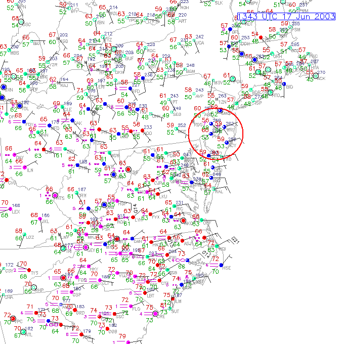
Winds this morning are onshore (keeping temperatures in the Philadelphia
area down). The temperatures on the small station circles below are the red
numbers on the upper left, the green (lower left) numbers are the dew
point. The winds are blowing from the tip of the sticks into the station
circles (colored blue, red, or green depending on flight rules in effect (see
the table at the very bottom of this page). The station circles are
colored in based on the percent sky cover. All colored in is
overcast).
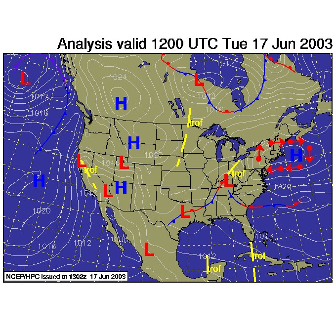
The winds are coming in from offshore because of the location of the high pressure that slid over the area over the last couple of days. I've drawn arrows showing the direction of air flow around high pressure systems in red. You can see the Low pressure system in Kentucky approaching from the southwest bringing the rain for tonight and tomorrow (and sliding away on Thursday).
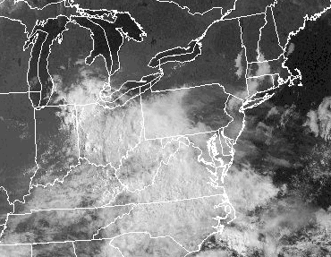
The eastern part of the state is still in the clear, but the cirrus is rapidly approaching and thicker clouds are dominating the sky in Ohio and West Virginia.
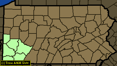
The thought is that this break in the weather was enough to allow streams in the southern tier of counties of PA, that were hit hardest by repeated waves of rain over the last month, to drop and flooding shouldn't be a problem except for the extreme southwest corner of the state (far far far from Philadelphia). The following is a map of the flash flood watches for the state this morning:
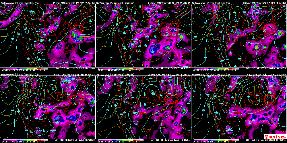
Looking at the evolution of this storm, we see the (primarily) eastern PA area circled in red each day. The purple tones are rainfall (blue and green colors are heavier and even heavier rain). Tuesday shows the rain moving in from the west and south (with our high off the coast giving us- again- onshore cool air flow). Wednesday morning, the rainfall is effecting everywhere except the northern and eastern counties in the state. Wednesday day - lots of rain. Thursday early morning and the first batch of rain is moving off with a weak cold front approaching from the northwest. Thursday day the front is sliding overhead, and Friday early morning we see clearing moving in!
Enjoy the coolness and clouds. Summer will be established with hazy skies and steamy heat before you know it. (The first day of summer is only 4 days away).
Meteorologist John Ensworth
Surface Station sky cover color key:
Flight category definitions:| Category | Ceiling | Visibility | |
|---|---|---|---|
| Low Instrument Flight Rules LIFR* (magenta circle) |
below 500 feet AGL | and/or | less than 1 mile |
| Instrument Flight Rules IFR (red circle) |
500 to below 1,000 feet AGL | and/or | 1 mile to less than 3 miles |
| Marginal Visual Flight Rules MVFR (blue circle) |
1,000 to 3,000 feet AGL | and/or | 3 to 5 miles |
| Visual Flight Rules VFR+ (green circle) |
greater than 3,000 feet AGL | and | greater than 5 miles |
| *By definition, IFR is ceiling less than 1,000 feet
AGL and/or visibility less than 3 miles while LIFR
is a sub-category of IFR. +By definition, VFR is ceiling greater than or equal to 1,000 feet AGL and visibility greater than or equal to 3 miles while MVFR is a sub-category of VFR. |
|||