Back To Home
The Story Behind the Weather - By Forecaster John
Ensworth M.S. -
The Discussion of Weather Events Daily for Philadelphia and Pennsylvania
Last updated: 09/14/2003 02:29 PM
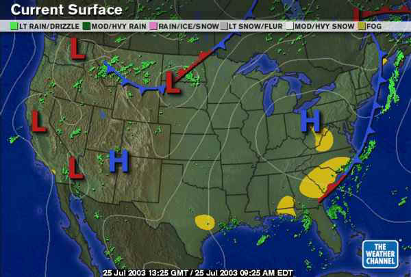
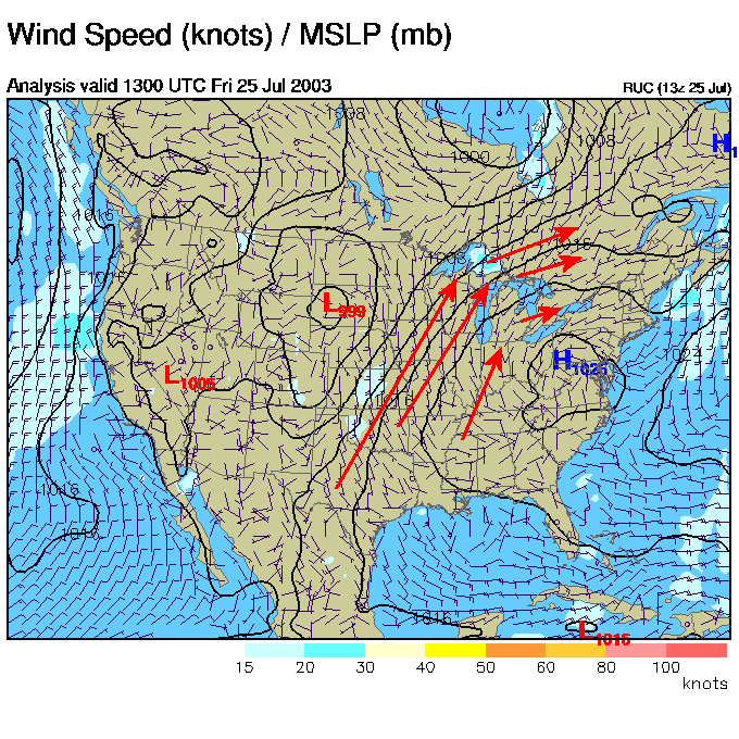
Good Morning! A quiet, but quickly warming pattern is now setting up. The front (as visible in the surface map below) has moved off, and our next system (in Montana and the Dakotas) is a few days away. The big high giving us relatively cool north air on it's eastern side is entering the state and will slide off to the east bringing a new source of air...
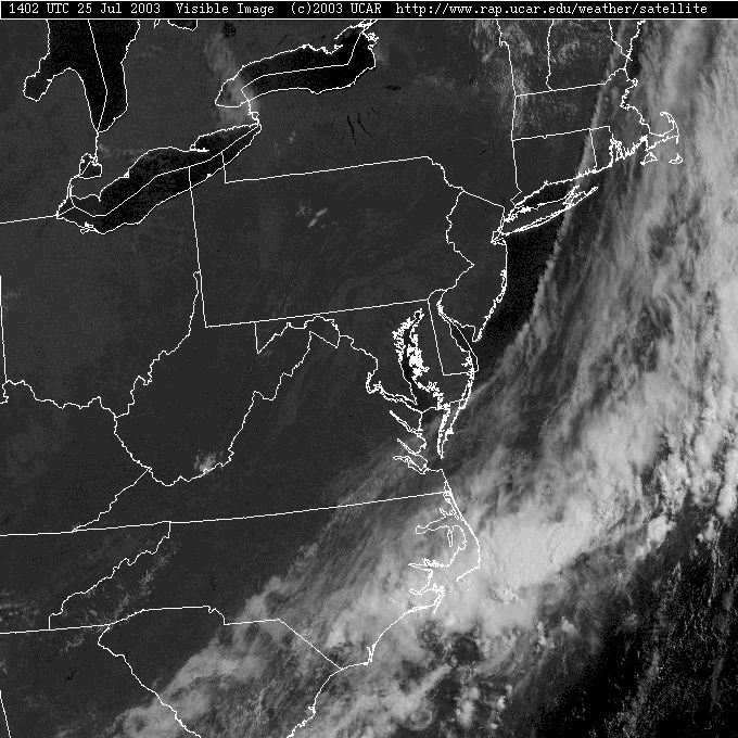
Skies are shockingly clear around Philadelphia and all of Pennsylvania. You can see forests and cleared lands and mountain folds. Amazing.
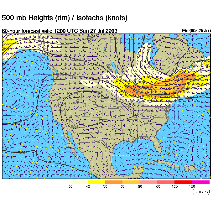
The 500mb map below (showing winds blowing parallel to the dark lines from west to east up at about 18,000 feet amsl) has a red dashed line on it marking the center of the axis of a giant ridge. This is the opposite of the troughs we have had keeping us cool. Air inside a ridge is sinking, compressing and warming. The hottest weather anyone normally experiences happen under large ridges.
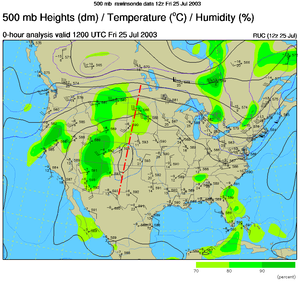
This ridge is building another supply of very warm air on the plains...
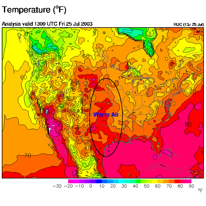
And as the high pressure over us moves to the east, the clockwise circulation around a high will start to shuttle warm humid air our way. The air will also slide downhill crossing the highlands in western/central Pennsylvania. Whenever air sinks (even traveling downhill) it warms. We will see some good heat this weekend!
Early Saturday morning, the high has sunk to our south and you can see all those white lines wrapping around the northwest side of the high bringing air from the hot plains to us.
Come Saturday night, the winds are west and getting strong. No rain nearby (yet).
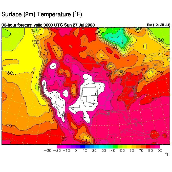
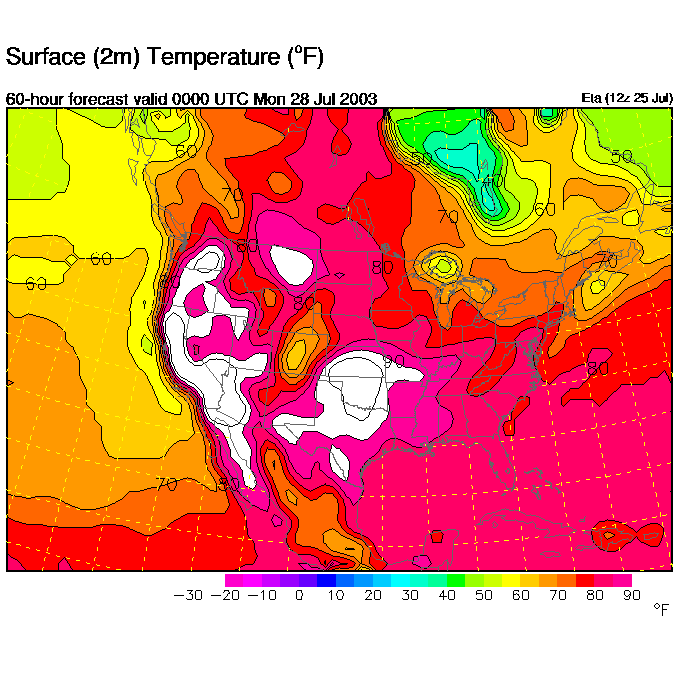
The forecast temperatures for Saturday afternoon/early evening shows upper 80's spreading in.
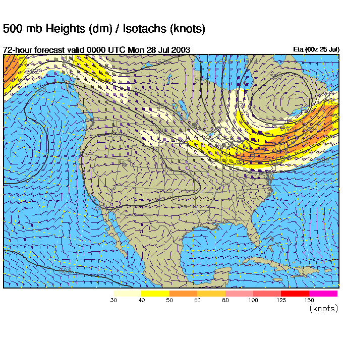
Sunday morning shows the western ridge nosing it's way east and the trough trying to get a hold to our north.
The front from Montana will be spreading eastward, poised to give us a break from the afternoon 90's.
Sunday night, the trough had dug a bit more into the east...
And the front makes it in with a chance of rain returning.
But until the front pulls through, we'll still be quite hot and humid (not far from seasonal normal though, just more heat and humidity that we've had for long this summer).
Overall, we can't complain much! I'll see you tomorrow.
Meteorologist John Ensworth
Surface Station sky cover color key:
Flight category definitions:| Category | Ceiling | Visibility | |
|---|---|---|---|
| Low Instrument Flight Rules LIFR* (magenta circle) |
below 500 feet AGL | and/or | less than 1 mile |
| Instrument Flight Rules IFR (red circle) |
500 to below 1,000 feet AGL | and/or | 1 mile to less than 3 miles |
| Marginal Visual Flight Rules MVFR (blue circle) |
1,000 to 3,000 feet AGL | and/or | 3 to 5 miles |
| Visual Flight Rules VFR+ (green circle) |
greater than 3,000 feet AGL | and | greater than 5 miles |
| *By definition, IFR is ceiling less than 1,000 feet
AGL and/or visibility less than 3 miles while LIFR
is a sub-category of IFR. +By definition, VFR is ceiling greater than or equal to 1,000 feet AGL and visibility greater than or equal to 3 miles while MVFR is a sub-category of VFR. |
|||