Back To Home
The Story Behind the Weather - By Forecaster John
Ensworth M.S. -
The Discussion of Weather Events Daily for Philadelphia and Pennsylvania
Last updated: 09/14/2003 02:35 PM
Good Afternoon Philadelphia!
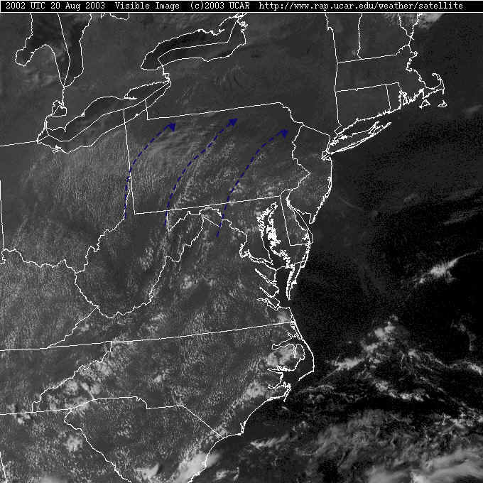
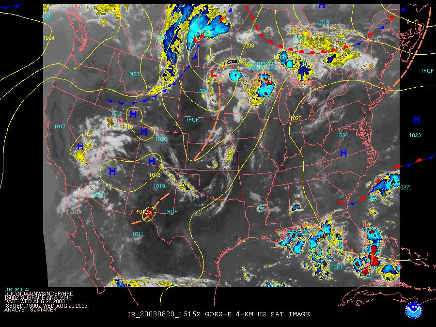
This afternoon's satellite picture shows rows of puffy cumulus clouds under warming, otherwise clear skies.
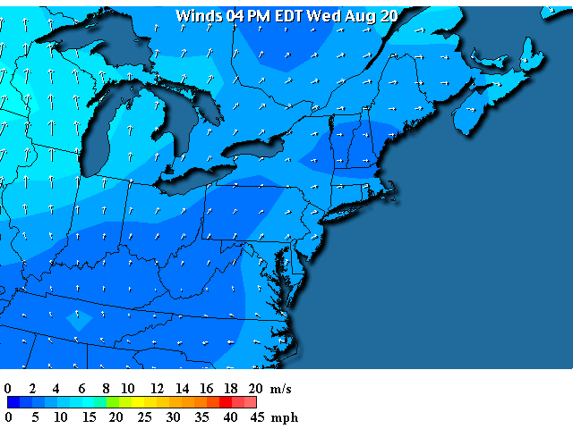
The surface winds show the direction of the cloud lanes. As the wind flows slightly across the mountain ridge lines in central PA, there is some uplift making the cloud lines marked in blue above.
The "write home about it" heat is still holding off (Wahoo). But you can see it just out west and south. That last cold front has yet to move off and/or moderate (warm).
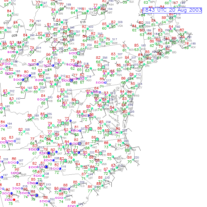
The more detailed surface map shows winds (while mostly coming from the southwest) are fairly light and variable (the winds are blowing at each station from the tip of the line points TO the station circles (with the colored center)). The wind speeds are like Roman numerals. One big barb is 10 knots (almost a mile per hour), a half barb is 5 knots. Then you add up the barb-speeds.
[For a key to the sky conditions, go to the very bottom of this page.]
Temperatures (in red) are in the 80's. Not bad ...yet.
The surface map from the Weather Channel shows a stationary front way up in Canada and a big High pressure system over us.
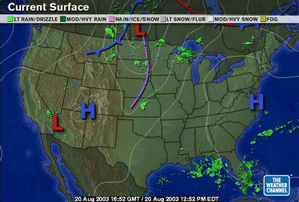
The NWS (National Weather Service) surface map shows the High in just about the same position, but the Canada front is a warm front. Fronts move in the direction of the barbs, or semi-circles marked on them.... that is - away from us.
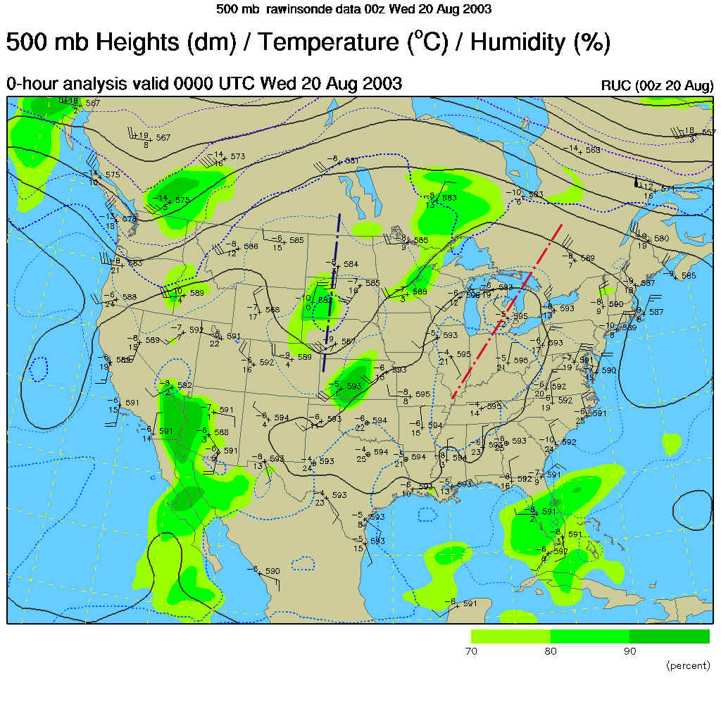
The 500mb map that shows the wind flow at approximately 18,000 feet up, shows a big ridge (marked in red) sitting on us, building the High pressure and keeping any organized rain from falling (and warming the temperatures). That trough that has been on a fantastic journey (see yesterday's discussion) is still over the Dakotas.
The forecast for Thursday afternoon shows the ridge over us and the 'orphan trough' over the Great Lakes.
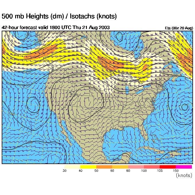
That moving small trough gets a cool front moving towards the Lakes and us.
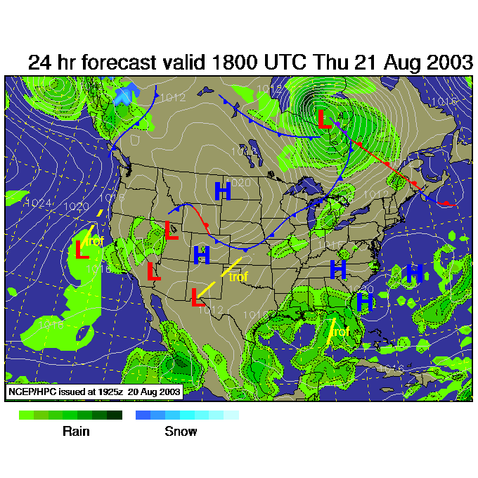
By Thursday night rainfall is breaking out all over the Plains and the Ohio Valley, we are still in the clear.
Friday morning shows the front getting closer, but rain is getting spotty. The High center hasn't moved far to the south. A battle is setting up, and the High should win.
By Saturday morning, the trough has deepened to our north. This will be our best chance of rain (as the front passes)...
But by Saturday night, we are on the back side of the trough, and the next ridge bulge is already heading for us. The pattern is changing much more rapidly.
I'll see you tomorrow and stay cool!
Meteorologist John Ensworth
Surface Station sky cover color key:
Flight category definitions:| Category | Ceiling | Visibility | |
|---|---|---|---|
| Low Instrument Flight Rules LIFR* (magenta circle) |
below 500 feet AGL | and/or | less than 1 mile |
| Instrument Flight Rules IFR (red circle) |
500 to below 1,000 feet AGL | and/or | 1 mile to less than 3 miles |
| Marginal Visual Flight Rules MVFR (blue circle) |
1,000 to 3,000 feet AGL | and/or | 3 to 5 miles |
| Visual Flight Rules VFR+ (green circle) |
greater than 3,000 feet AGL | and | greater than 5 miles |
| *By definition, IFR is ceiling less than 1,000 feet
AGL and/or visibility less than 3 miles while LIFR
is a sub-category of IFR. +By definition, VFR is ceiling greater than or equal to 1,000 feet AGL and visibility greater than or equal to 3 miles while MVFR is a sub-category of VFR. |
|||