Back To Home
The Story Behind the Weather - By Forecaster John
Ensworth M.S. -
The Discussion of Weather Events Daily for Philadelphia and Pennsylvania
Last updated: 09/14/2003 02:38 PM
Good Morning Philadelphia!
[The server this page resides on continues to be down today... so no one will be able to see this live. I'll, again, quickly recap what is happening, and wait for the big diagnosis to return when the power is back on! Update, the UPS is out and one will be ordered Thursday. Yikes. ]
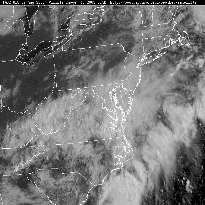
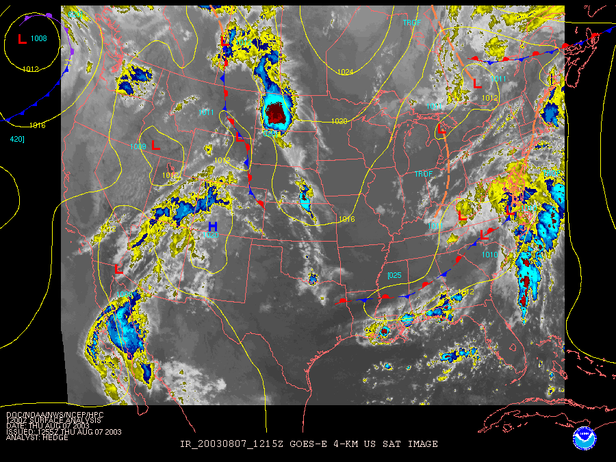
Oh oh. Here come the clouds again. We have had rain, heavy at times, in eastern Pennsylvania almost continuously since last Wednesday. And here comes the rain again...
Showers are spreading northward up the east coast and light showers should begin in Philadelphia in the next few hours.
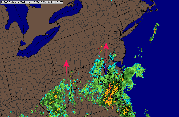
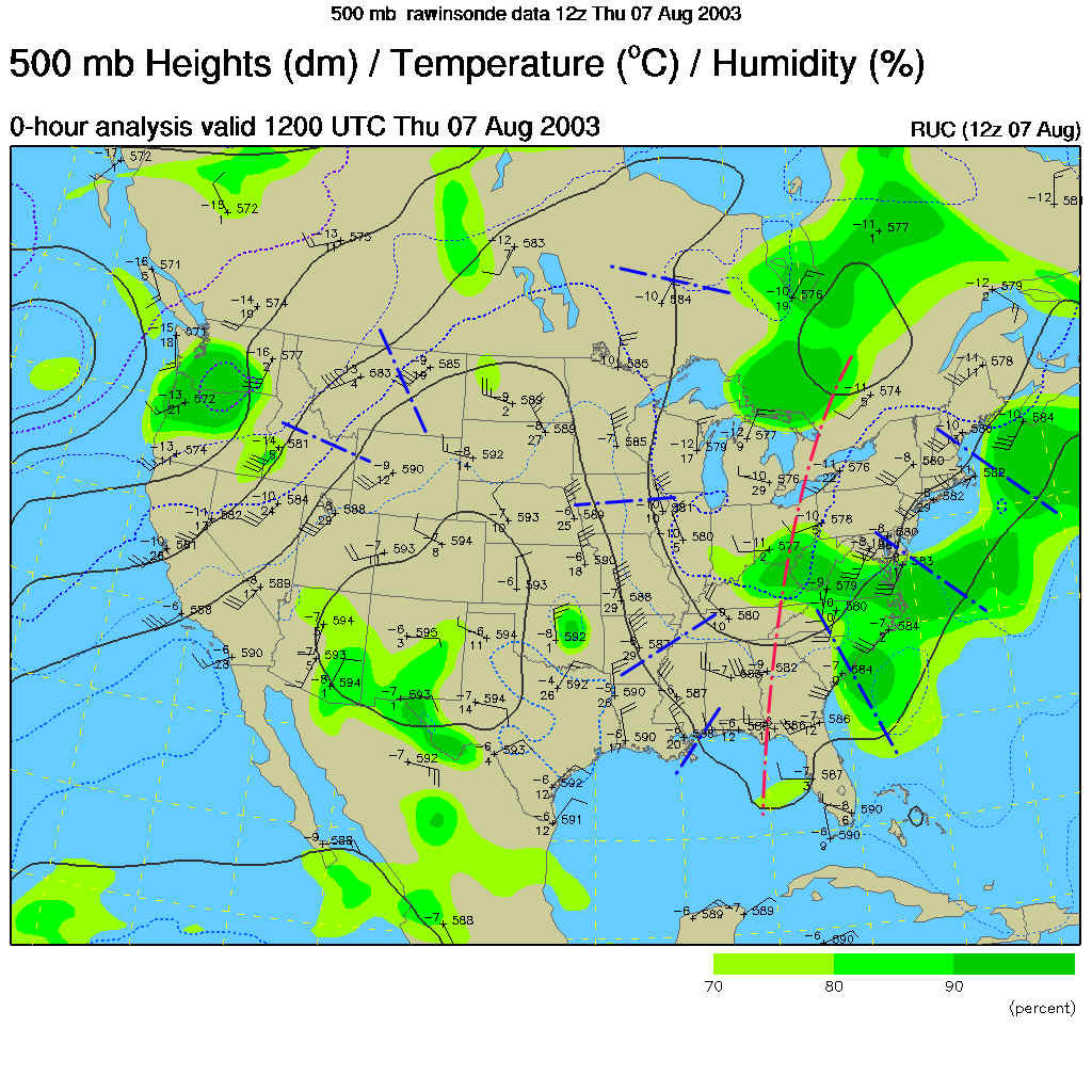
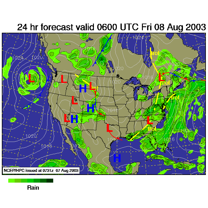
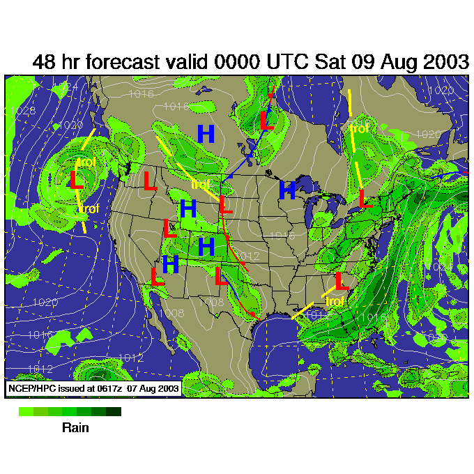
This wave of showers is being kicked off by a short wave (blue lines) rotating around the big trough (red line) in the eastern US. There are more of those waiting upstream to get us.
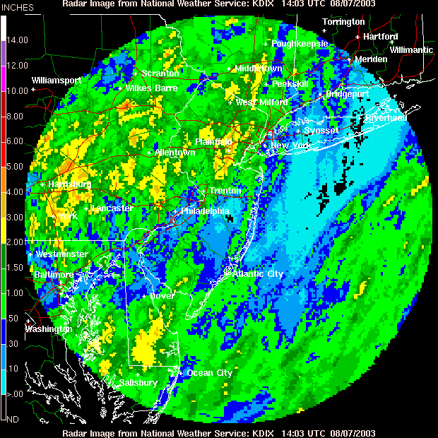
Rainfall amounts over the last two days are now reaching 4 to 5" to our west and north from Harrisburg to Wilkes Barre. This is another very wet pattern.
The surface map shows the front (according to meteorologists at the Weather Channel) as having lost it's cold front characteristic. They are just marking it as a trough via a dashed purple line. There is still a boundary there where air is weakly converging, which can help air rise and make storms.
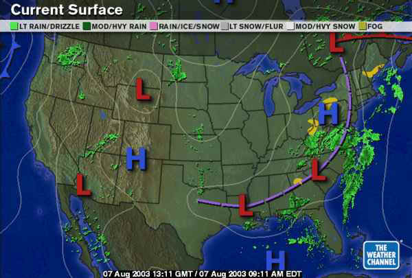
The National Weather Service form of this map shows a trough marked in from the low in North Carolina northward to near Philadelphia (and a stationary front south of that). It is getting hard to discern this front and meteorologists can disagree where such features are located.
Nothing significant is going to change yet in this pattern through the end of the week. There will be troughs at the surface and shortwaves rolling overhead. Blobs of showers and thunderstorms will continue to pop up. Friday 2am and we still have a chance of rain.
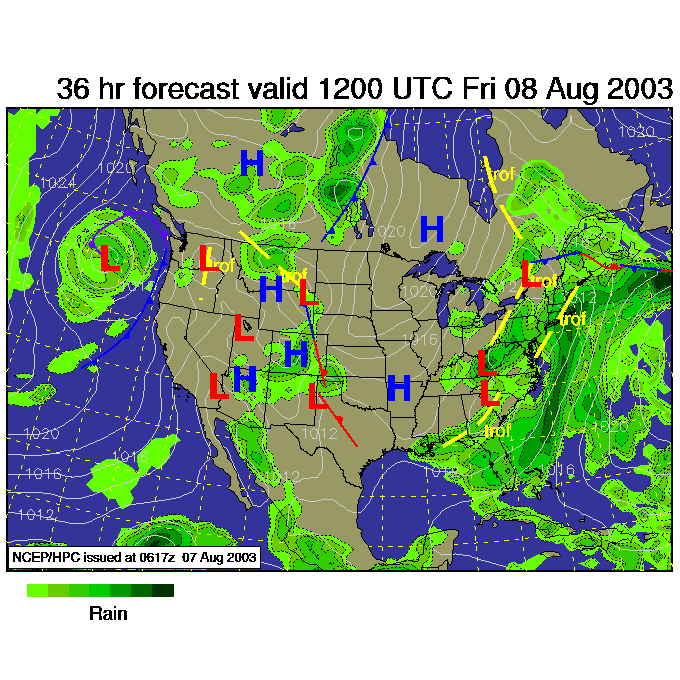
Friday morning 8am, more rain around here...
And a very similar story by Saturday morning 8am.
Eventually the pattern will shift with the east coast trough relocating near the middle of the country. Until then, rain on and off again.
Hopefully the servers will be working soon and I'll be able to post live again.
Until then, keep looking up and stay dry!
Meteorologist John Ensworth
Surface Station sky cover color key:
Flight category definitions:| Category | Ceiling | Visibility | |
|---|---|---|---|
| Low Instrument Flight Rules LIFR* (magenta circle) |
below 500 feet AGL | and/or | less than 1 mile |
| Instrument Flight Rules IFR (red circle) |
500 to below 1,000 feet AGL | and/or | 1 mile to less than 3 miles |
| Marginal Visual Flight Rules MVFR (blue circle) |
1,000 to 3,000 feet AGL | and/or | 3 to 5 miles |
| Visual Flight Rules VFR+ (green circle) |
greater than 3,000 feet AGL | and | greater than 5 miles |
| *By definition, IFR is ceiling less than 1,000 feet
AGL and/or visibility less than 3 miles while LIFR
is a sub-category of IFR. +By definition, VFR is ceiling greater than or equal to 1,000 feet AGL and visibility greater than or equal to 3 miles while MVFR is a sub-category of VFR. |
|||