Back To Home
The Story Behind the Weather - By Forecaster John
Ensworth M.S. -
The Discussion of Weather Events Daily for Philadelphia and Pennsylvania
Last updated: 09/14/2003 02:41 PM
Good Afternoon Philadelphia!
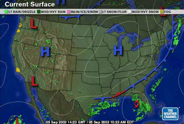
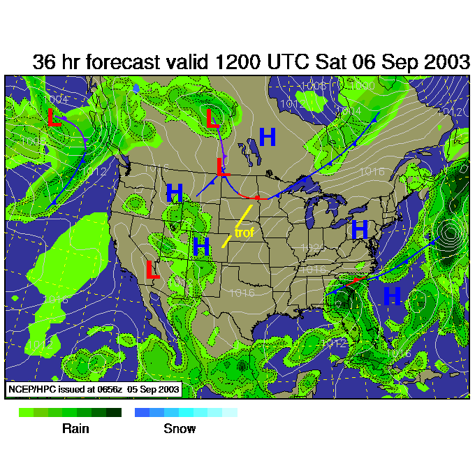
Much clearer, quieter weather is here and here to stay for a while. On the surface map below, you can see yesterday's secondary cold front has slid off far into the ocean leaving us in the cooler dry air behind it.
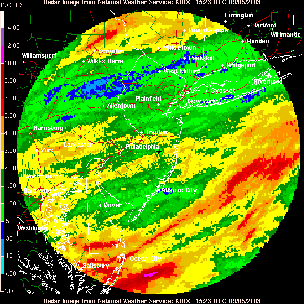
The final tally for rainfall over the last 5 days is impressive. Including this last line of showers, we have had 1.5 to 3 inches of water fall around and in Philadelphia.
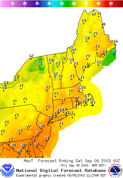
Temperatures today will be fantastic. A high of a dry 80F is expected with partly cloudy skies... and if you are working today, you can enjoy it all weekend!
The cool air aloft and the warming ground is making 'cold-air' cumulus clouds form out west, but it is mostly clear here in the city.
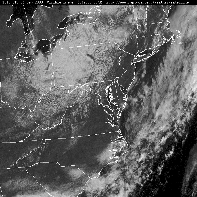
You can tell on the infrared satellite view (showing temperature of the ground and cloud tops -whichever comes first) that the clouds out west are low clouds. They are nearly the same temperature (warm oranges) as the ground. The high cold ice clouds with some thunderstorms are to the southeast over the Atlantic.
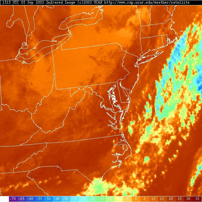
And to prove the point... the radar is completely clean.
Hurricane Fabian is heading for a disastrous hit on Bermuda today, but is recurving and missing the rest of N. America.
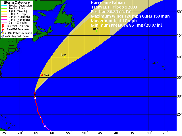
A satellite view of it shows the impressive (if fuzzy) view.

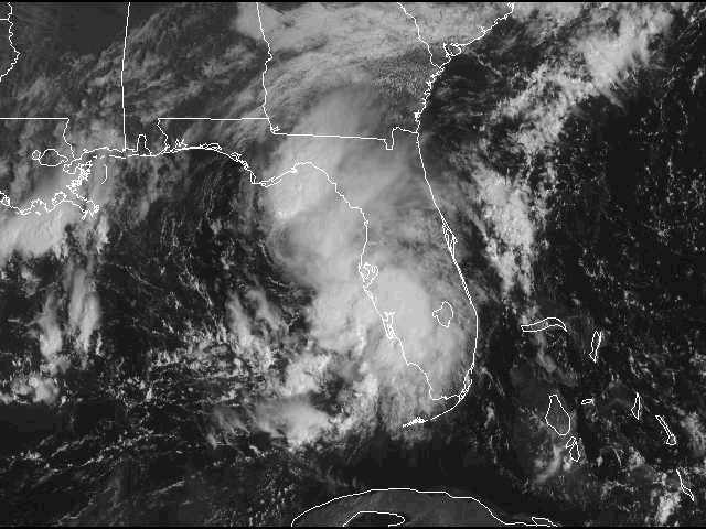
We should watch this new tropical storm in the Gulf of Mexico for next week though. T.S. Henri will cross Florida in the next day and head up the east coast. It 'could' dump more moisture our way Tue/Wed. We'll see...
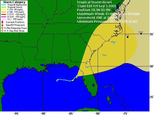
The visible satellite view of this storm shows nothing as organized as you can see out near Bermuda!
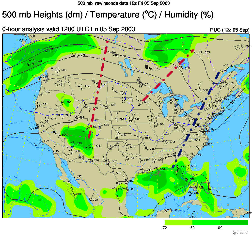
The trough (the blue dashed line) in the upper air flow (at about 18,000feet above mean sea level) is moving away and the giant ridge (red dashed lines) will dominate our weather for the next 3-4 days. Nice stuff!
Saturday morning has the cool high parked on us with incredible, write-the-relatives weather...
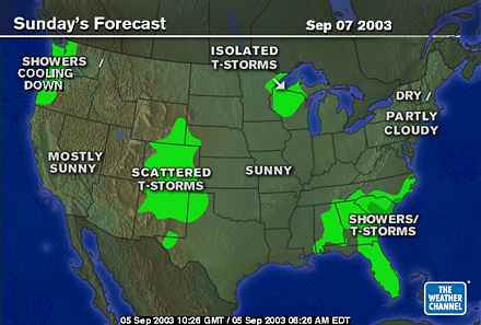
And nothing is happening Sunday either except a bit of warming.
Still nothing Monday...
And yet still fantastic Tuesday (if not warmer yet). The moisture from Henri is still down in the SE US.
See ya Saturday AM! Until then, remember every moment... this is the weather you'll want to dream about come January.
Meteorologist John Ensworth
Surface Station sky cover color key:
Flight category definitions:| Category | Ceiling | Visibility | |
|---|---|---|---|
| Low Instrument Flight Rules LIFR* (magenta circle) |
below 500 feet AGL | and/or | less than 1 mile |
| Instrument Flight Rules IFR (red circle) |
500 to below 1,000 feet AGL | and/or | 1 mile to less than 3 miles |
| Marginal Visual Flight Rules MVFR (blue circle) |
1,000 to 3,000 feet AGL | and/or | 3 to 5 miles |
| Visual Flight Rules VFR+ (green circle) |
greater than 3,000 feet AGL | and | greater than 5 miles |
| *By definition, IFR is ceiling less than 1,000 feet
AGL and/or visibility less than 3 miles while LIFR
is a sub-category of IFR. +By definition, VFR is ceiling greater than or equal to 1,000 feet AGL and visibility greater than or equal to 3 miles while MVFR is a sub-category of VFR. |
|||